
From Left: Malith, Diluk, Dillan, Myself, Tharidu, and Vinesh. Kusal took the Photo
This Ohiya Jeep Track journey was so special and close to my heart because I gathered a lifetime of memories.
It’s normal among Srilankan hikers that if you are so passionate about hiking, you should walk down this path, at least once in a lifetime.
If you are hiking this part for the first time, I have no doubt you’ll lose your breath even if for a while because the views are so astonishing and you may want to stay for quite some time and see the elegance of mother nature’s beauty.
Read this if you are interested because it was the best Hike I ever had.
We embarked on this Journey from Kalupahana to Ohiya through Ohiya – Kalupahana Ohiya Jeep Track & Devil’s Staircase in Mid November (16th and 17th) 2015 with some of my office colleagues.
I never thought I would visit “Kalupahana” in my life as nobody knew where it was when I was a teenager.
My father and mother have told me many stories about “Kalupahana” and how important it was during the Rama-Ravana War.
Since I am a fan of History and loved the Ravana’s time, I had a great longing to visit this Kalupahana; so this journey was sort of “Law of Attraction” if you believe these 🙂
Let’s cut to the chase 🙂
We stayed at the World’s End Lodge in Ohiya the following night.
When it’s dark, we asked from World’s End management whether they would like to pack our B’fast since we wanted to leave before 6:00 AM.
Initially, they gamble about our request but they later picked a couple of bread loaves, Dhall curry and coconut symbol in the morning and we were surprised.
Thanks to them, it was a great help. We left World’s End Lodge Ohiya at 5:45 AM and reached Bambarakanda Waterfall, the tallest waterfall in Sri Lank at 6:18 AM.
Note on Bambara Kanda Waterfall: – Bambarakanda is the highest waterfall in Sri Lanka with a sheer drop of 263 meters. If I am not mistaken, it is ranking 299th in the world. There is not much of a wide waterfall you will find in Sri Lanka, but there are several that drops as a thin line from a rock. According to my Google search, the fall was formed by the Uduweriya Haputale Mountain and Kuda Oya, a tributary of Walawe River.
This entire uphill climbing journey can be divided into 4 or 5 milestones, and I write this post based on these milestones so that it’s easy to follow.
- Kalupahana to Bambarakanda Waterfalls
- Bambarakanda Waterfalls to V-cut
- V-cut to Udaveriya Estate, West Haputale Division
- Udaveriya Estate to Devils Staircase
- Devils Staircase to Y-junction(Ohiya-Kalupahana Colonial Trek)
- Y-Junction to Horton Plains-Ohiya road (B508), 26 Milepost.
1. Kalupahana to Bambarakanda Waterfalls: Kalupahana Ohiya Jeep Track & Devil’s Staircase
I just wanted to say that, we came to Bambara Kanda waterfall by our Vehicle, took some photos of the Bambara Kanda waterfall, and continued our journey to “Bambarakanda Rest”.
There is a small guest house managed by Mrs. Sera Mayakaduwa called “Bambarakanda Rest” where we ordered lunch packs, had our B’fast, and also ordered some tea.
In 2015, we paid Rs 150 for the Chicken-Rice pack.

Bambarakanda is the highest waterfall in Sri Lanka with a sheer drop of 263 meters

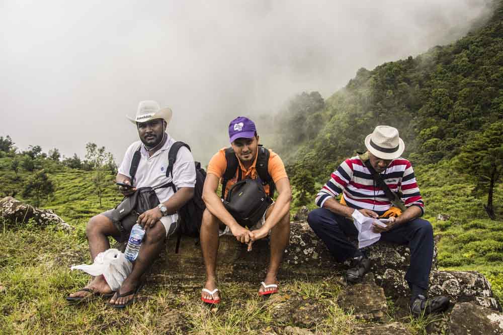
Having B’fast
Tip: Mrs. Sera Mayakaduwa told us that we could go up the V-Cut by vehicle, but we did not heed her advice because we thought we might not find a place to turn the vehicle. The driver was ok to take us up the V-Cut road since it’s in good condition right up to the V-Cut.
We started our trekking from Bambarakanda Rest, 4th Milestone thinking that we could reach the destination; Ohiya within 5 hours. 🙂
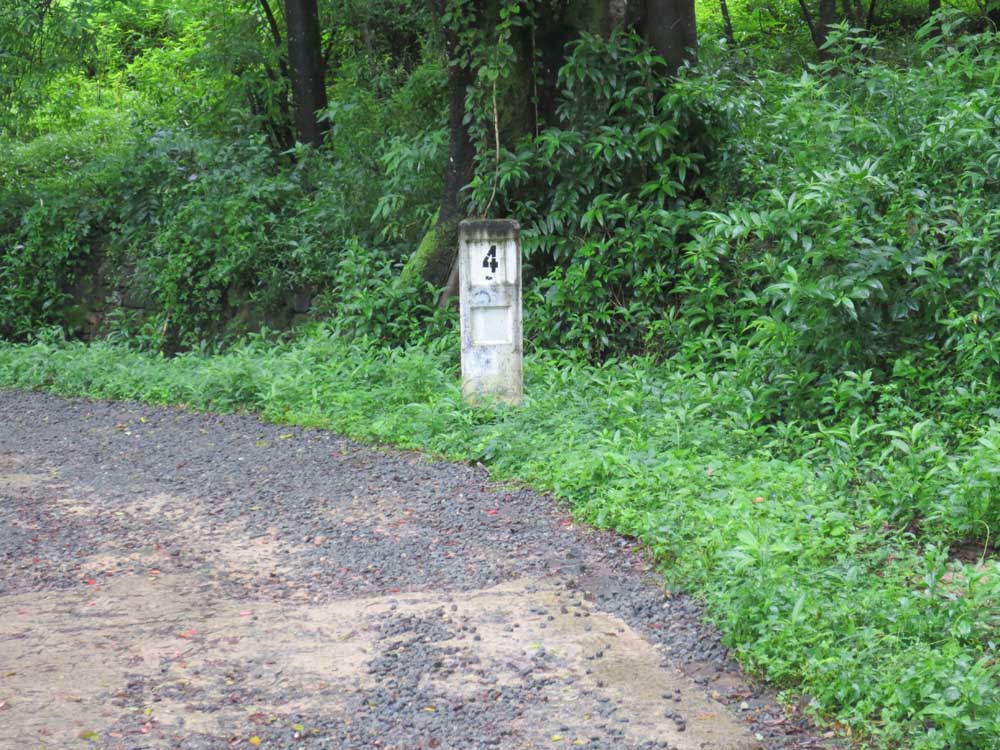
4th Mile Stone.just before “Bambarakanda Rest”
We told our Driver to come to Ohiya at 2:00 PM, so he left us at the Bambarakanda Rest (thanking our Driver).
2. Bambarakanda Waterfalls to V-Cut

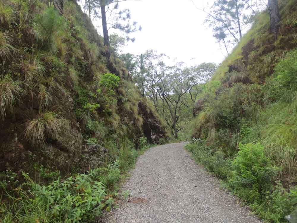
Up to V-Cut, the road was in good condition.
With the right spirit and faith, we climbed uphill together, but after 20m, I found out that we were just like a group of scattered hikers, due to tiredness and unfitness.
To tell you frankly, we took a couple of rests in-between and enjoyed the fascinating beauty of Kalupahana.
Of course, we had very lightweight bags because we only carried Water and our Lunch pack.
Make sure; you do the same.
Tip: We figured out you need a few things to munch while you take a rest and the biggest mistake we made was not carrying any snacks like biscuits, sweets, and some drinks so that we can munch during our Journey, we only had Water.
Even though we read a couple of blog posts about this Ohiya – Kalupahana Jeep Track & Devil’s Staircase we have no idea about the next milestone or anything about this Journey.
After the 2-3km walk, the road travels through a split in the mountain, known as the V-Cut. This place has a religious significance for people in the area, and you will notice a small altar as you pass through the v-cut.
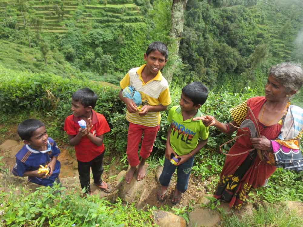
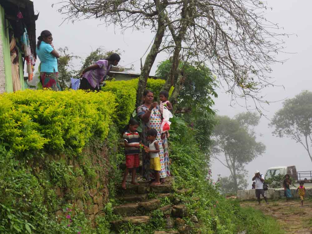
We met a small family that consists of a mother, daughter, and grand-daughter.
I gave 2 of my mother’s sarees (my mother passed away in March-2014) to the mother and gave a couple of toys to the grand-daughter.
They were surprised to receive these things, and I observed the happiness and gratitude of this gesture from their face and body language.
We had a very friendly chat with these villages, and they were waiting for T-Wheel to arrive at V-Cut.
Quite often you notice the significant difference in the weather of the V-Cut sides, while one side can be very windy (Bambarakanda to V-Cut), the other side can be very calm (from V-Cut to Udaveriya Estate).
From Kaplan to V-Cut, the road is well paved, and you can either go by ThreeWheeler, Vehicle or Car without any issues.

V-Cut: From Left: Diluk, Tharidu, Myself, Vinesh Setting:Left: Kusal and Dillan. Malith took the Photo
Reaching V-Cut

V-Cut: A small altar

V-Cut: we were a bit tired.

V-Cut: The Family that we met.we had a very friendly chat with them.
3.V-Cut to Udaveriya Estate, West Haputale Division
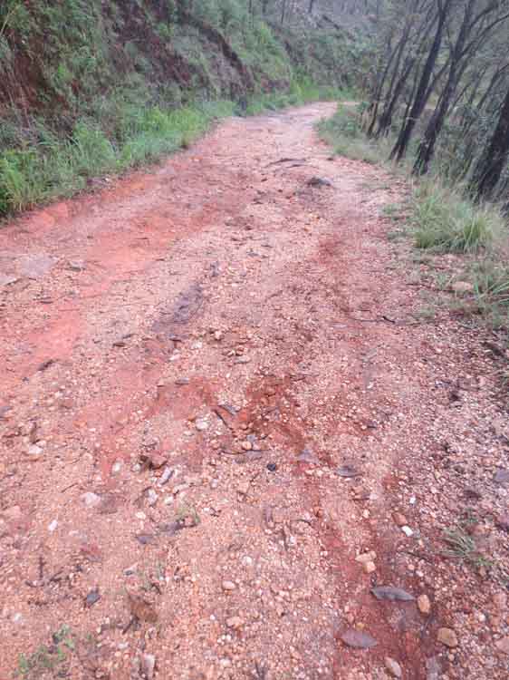

The surface consisted of sharp-edged stones

This stream is what eventually flows down and becomes the Bambarakanda waterfall

Dillan, Vinesh, Kusal, and Tharidu chose the narrow metal bridge to go over the stream but I and Diluk crossed the river
A short distance after passing the v-cut, you will pass through a small stream that runs across the road, this stream is what eventually flows down and becomes the Bambarakanda waterfall.
Due to the volume of water and the force at which it’s crossing the trek, some of my colleges chose the narrow metal bridge to go over the stream while I took the risk of crossing the stream (want to learn how to take a calculated risk and faith life).
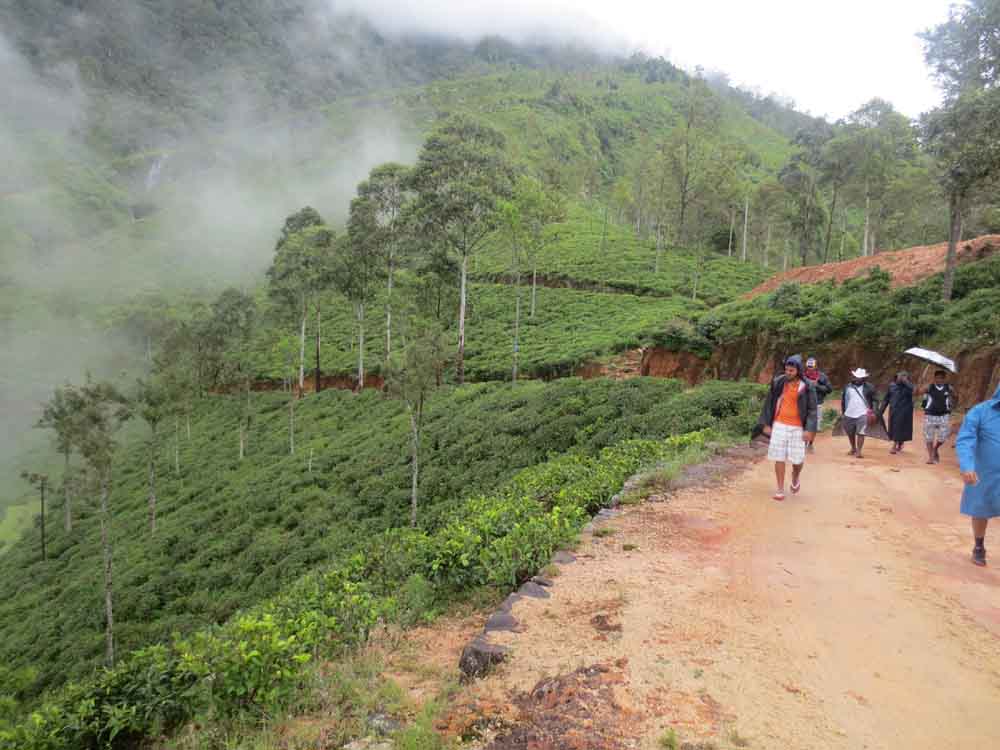
After passing the stream, the trail was full of sharp bends, and we were ascending on the side of a mountain crested with cropped tea plants.
Most of the time we have to put on our leg brakes as the road is not leveled, sometimes you will find the rocky road, and sometimes it’s covered with grass despite the soil and granite.
So make sure, you wear decent shoes to avoid getting injured.
In my opinion; from V-Cut to Udaveriya Estate, you’ll find a lot of breathtaking places where you would like to stay for a while.
We met a lot of villages and distributed some Sarees and toys among them.
We gave some toys to these children and gave one of my mother’s Sarees to this mother.


The one thing I learned from these villages was that their lifestyle is very simple, they have fewer numbers of needs and wants to continue their day to day life activity.
We are the ones who have put the complexity into our lives and suffer day by day.
If you want to be happy; there is only one thing you have to do which is “Be Simple” or KISS (Keep it simple stupid).
So we were continuing our hassle-free hiking along the meandering trail in the misty tea plantation, mist and heavy showers are part of the journey.
So do not get disappointed about these and enjoy every moment of the journey by taking along some hiking gears to cover yourself from Rail and mist.
As a matter of fact; I have read somewhere that mist is one of the essentials for a healthy life just like drinking lots of water and eating plenty of fruits and vegetables.

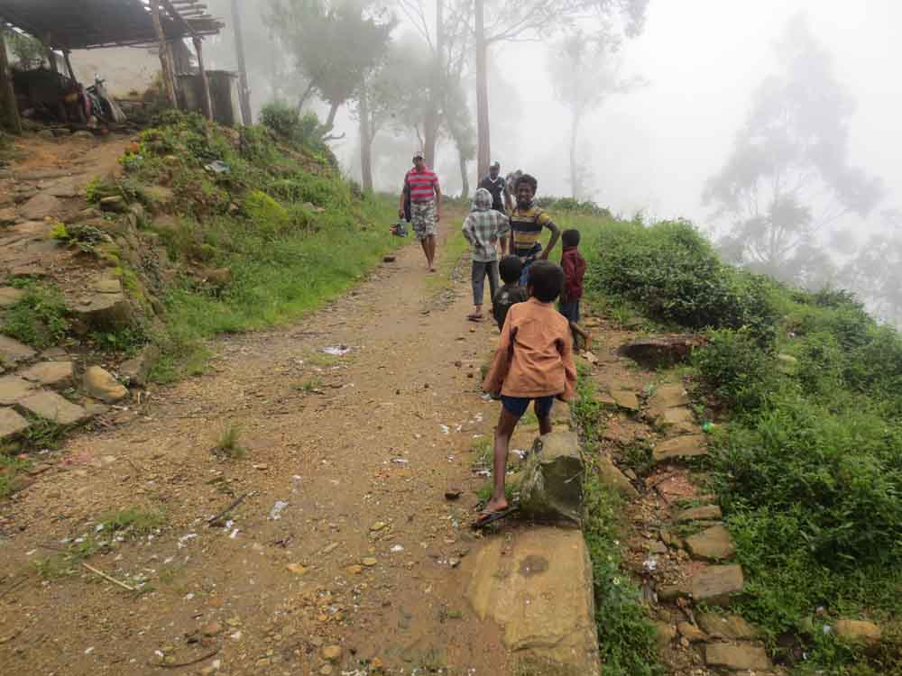
Innocent children live in our country…


4.Udaveriya Estate to Devils Staircase

The notice board which marks the start of Devil’s staircase


At the end of Devil’s staircase
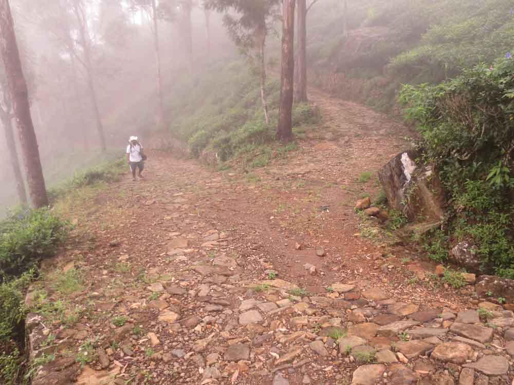
After Udaveriya Estate, you will not find any villagers until you pass the Devils Staircase.
I’ve read many blog posts about this journey, and everybody keeps saying this is the darkest part of the journey.
You only find very tall Trees and little sunlight; I consider this as the most adventurous part of the journey.
You may not notice the Devils staircase if you don’t know how to identify, as you’ll always find narrow roads and hairpin bends.
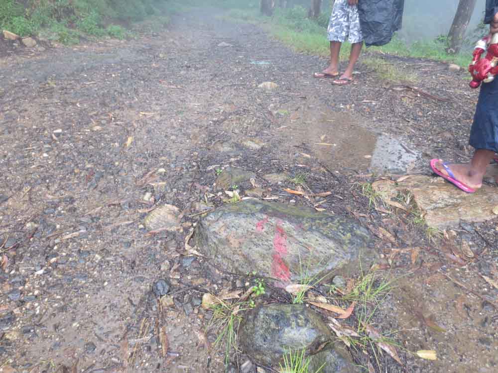
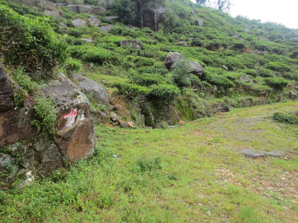
TIP: During this section of the journey; you’ll come across a Y-Junction, make sure you take the right direction. if you look carefully The directions are noted in “Red color Arrows” do not miss these marks, also make sure you bring a good torch along with some extra batteries.


We met some hikers on our way. They started the Hike from Ohiya.We had a small chat with them.
5.Devils Staircase to Y-junction(Ohiya-Kalupahana Colonial Trek)


After passing the Devils Staircase, you come to the most important milestone of the journey if you are hiking from Kalpana to Ohiya.
In any case, you didn’t take the right direction, you’ll end up climbing another 5-6kms, so read this section and follow my instruction very carefully.
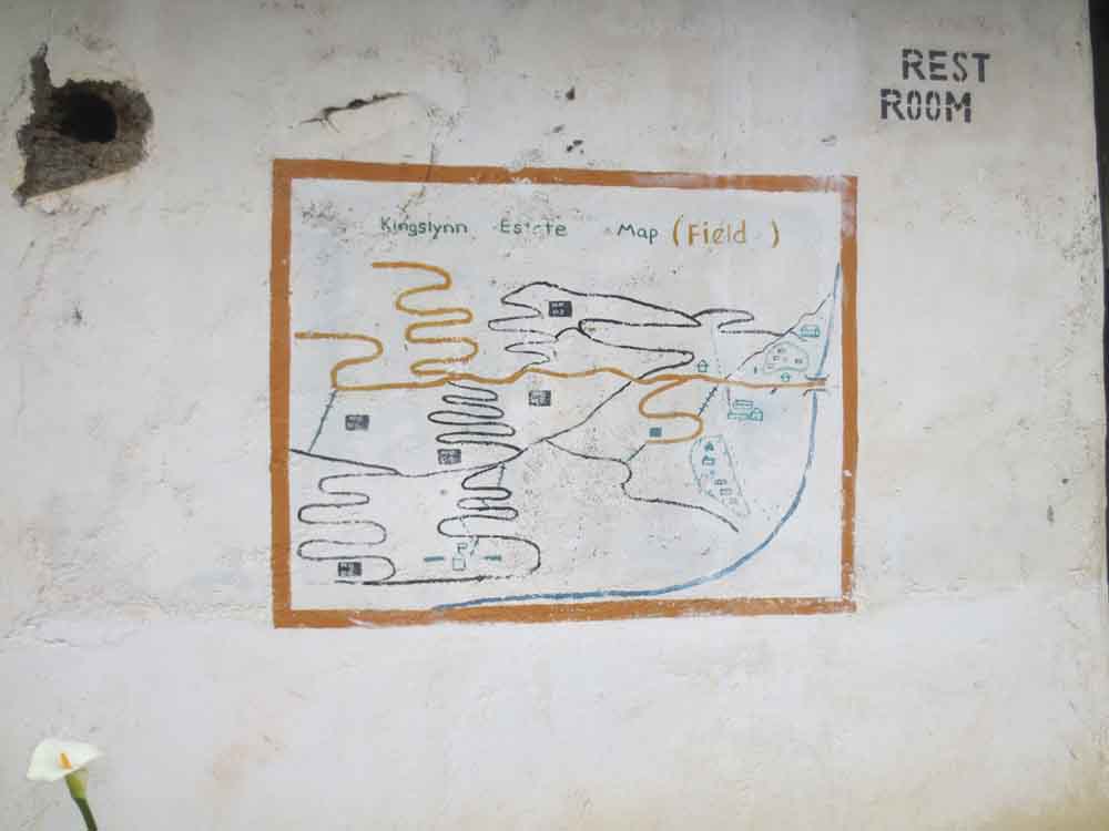
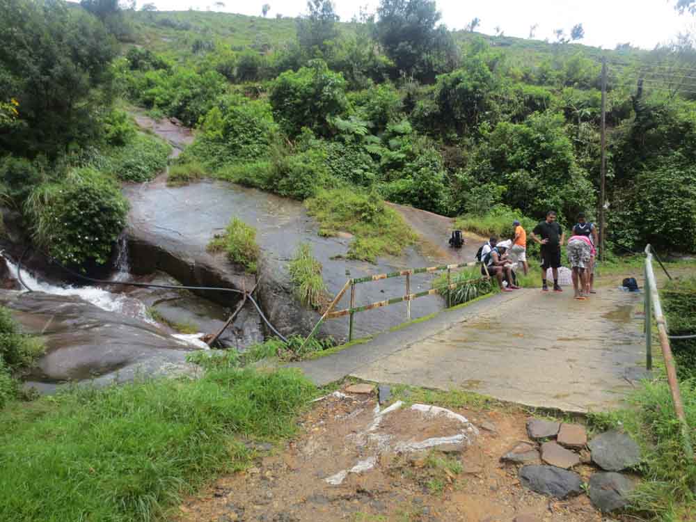
After passing the Devils Staircase, you will get to “Welcome to King’s Lynn Bio-Dynamic Project.”
It is Cleary visible, and on your left side is the small stream which helps to generate power.
I am not sure about the success of this project, but you can see the power generation project.
We had our lunch there, as that was the only place we were able to wash and collect some water throughout the journey.
It’s obvious that the villagers have abandoned this place, but a few empty houses are still around.
Once you pass this bridge 10m ahead, you can see the “Y” Junction.
Be careful because you need to take a decision now.
If you take the left side of the road, which requires climbing the hill, you will reach Ohiya 26th miles post after hiking 3km.
It took us 1.5 hours to reach Ohiya 26th milepost from this point, and of course, you have to climb the steep hill.
But if you take a right straight road, you’ll reach Ohiya via the abandoned tea factory of Udaweriya and Ohiya Hill Safari Eco Lodge.
According to my knowledge and research, it will take another 6-7kms or more to reach Ohiya.
So you decide 🙂
If you ask from the villages ” How to go to Ohiya” some people would say, take a left, and others would say right as both answers are correct as you ask them a very general question.
6.Y-Junction to Horton Plains-Ohiya Road (B508), 26 Milepost.


So we started climbing and lost proper signals on our phones, but some of our colleagues had several good phones to access the GPS system.
So we checked and confirmed our direction, the only thing was that; this looks like climbing “Siripadaya” as it was very misty and dark.
The weather changed several times, and this time, I led the colleagues because most of them were tired.
To be honest, they were disjointed too as we all took a decision to take Kalupahana to Ohiya rather than Ohiya to Kalupahana.
It was not the time to argue or chat about that because what matters now is reaching our destination.
I am pretty sure, my colleagues must have hated me because I took most of the decisions 🙂
With everything said and done, this was also one of the most beautiful parts of the Journey.


Most of the time, I ran up the hill and keep a very big distance with my other colleagues as I want to direct them from the top.
Since I climbed most of the hill before them, I guide them through taking shortcuts to reach the points I want them to.
Please take a break during this part as it is not easy to climb this part of the journey.
After 1.5 hours, we reach our most wanted destination; after the 26m journey, everyone was tired and couldn’t talk.


Summary
If you are interested, please read the below-mentioned post before embarking on this Journey.
- http://trips.lakdasun.org/jeep-track-from-bambarakanda-to-ohiya-a-must-do-for-the-adventure-seeker.htm
- http://trips.lakdasun.org/journey-from-kalupahana-to-ohiya-through-the-devils-staircase.htm
- http://trips.lakdasun.org/horton-plains-heroism-part-01-scenic-walk-along-the-solitude-jeep-track.htm
- http://uncommon-paths.blogspot.com/2014/02/from-kalupahna-to-ohiya-via-devils.html
- https://damithakumarage.wordpress.com/tag/devils-stair-case/
- http://trips.lakdasun.org/climbing-idalgashinna-mountain-and-tunnel-walk-to-ohiya.htm


